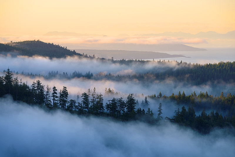

The Coastal Circle Route is a driving itinerary highlighting many of the area’s attractions and activities, but how you choose to explore is up to you! Whether you’re taking a motorcycle, RV, your car or even a bicycle, you’ll be travelling on provincial highways that are well-maintained and road-trip ready. There’s no wrong way to start the circle route, so join in on this suggested itinerary at the place that makes sense for your journey.
The route most often begins at Vancouver, British Columbia’s Horseshoe Bay Ferry Terminal. Travellers can follow the route in either direction, by choosing to set sail to Departure Bay in Nanaimo, or to Langdale on the Sunshine Coast.
Map
Road Conditions
1-800-550-4997
Visit DriveBC.ca for real time info
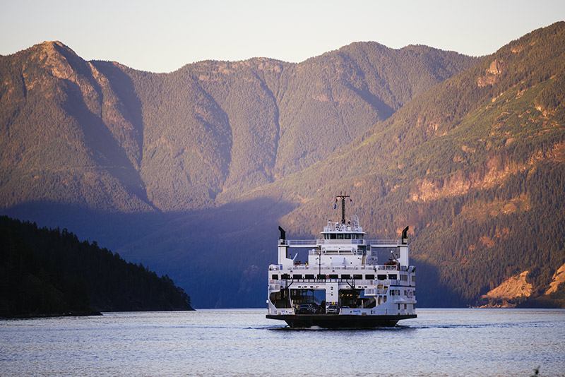
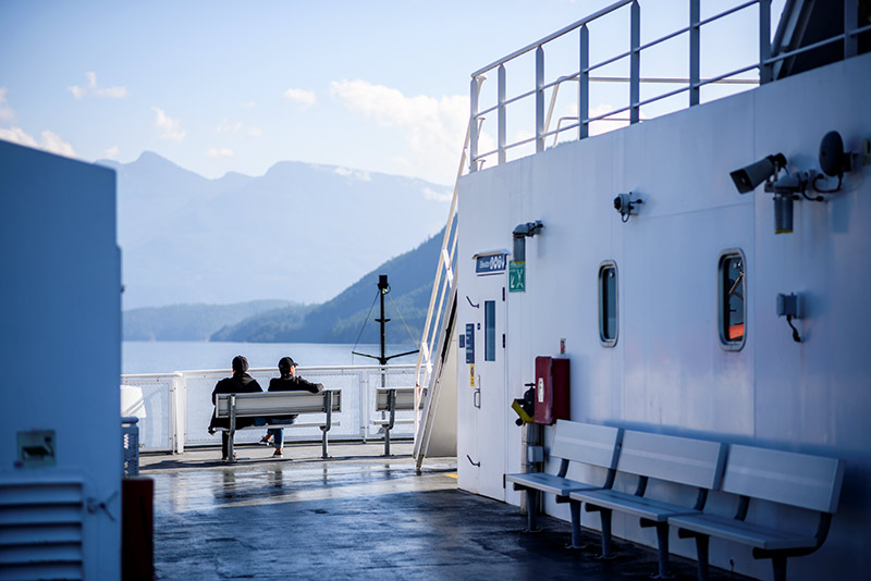
Ferry crossings
Visit BCFerries.com for current schedules & conditions. All ferries accept vehicles and walk-on passengers. Reservations are allowed on select sailings, and it is recommend that you allow ample time to make your sailing, especially during summer and holidays.
Horseshoe Bay to Langdale
- Crossing time: 40 minutes
- 10.5 nautical miles
- (payment only required on Horseshoe Bay side)
Earls Cove to Saltery Bay
- Crossing time: 50 minutes
- 9.5 nautical miles
- (Payment only required on Saltery Bay side)
Powell River to Comox
- Crossing time: 1 hour 30 minutes
- 17 nautical miles
Departure Bay to Horseshoe Bay
- Crossing time: 1 hour 40 minutes
- 30 nautical miles